How to Draw Property Lines in Revit
A property line in Revit is a model element that marks the legal boundary of your site. You can add it two ways: sketch it when you only have a drawing to…

Learn how to create Revit topography, grading, roads, parking, and site utilities.
A property line in Revit is a model element that marks the legal boundary of your site. You can add it two ways: sketch it when you only have a drawing to…
The project base point is one of the most important elements in Revit because it defines the origin (0,0,0) of the project coordinate system. It serves as a reference point for taking…

Shared coordinates in Revit give every linked model on a multi-building project the same position and orientation, so architecture, structure, MEP and site models always line up. This guide shows how to…
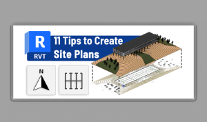
A site plan in Revit shows your building in the context of its land: terrain, property lines, roads, parking, and landscaping. In current versions of Revit, the terrain is a toposolid, a…
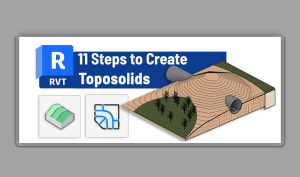
A Toposolid in Revit is the site terrain element for Revit 2024 and newer. It replaced the old Toposurface and gives your terrain real volume, compound layers, shape-edited points, subdivisions, cut geometry,…